Property Info and Links
Location:
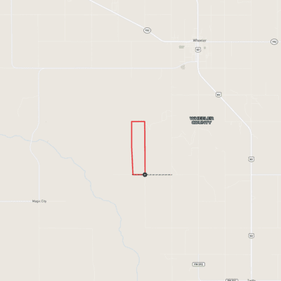
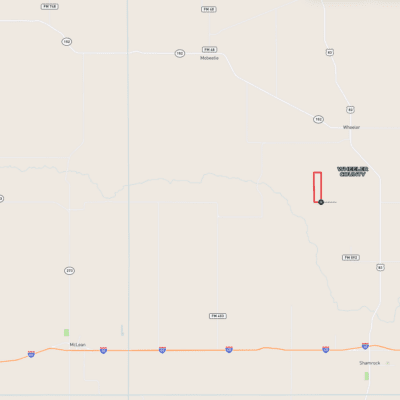
T&R North is accessed by County Road Q, and located approximately 3 miles southwest of Wheeler, 10 miles northwest of Shamrock. Amarillo is located 90 miles back to the southwest and it is approximately 150 miles to the east.
Water:
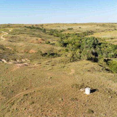
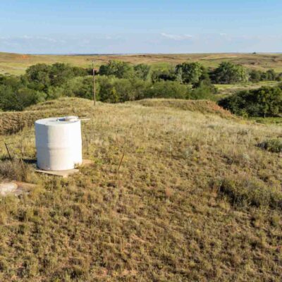
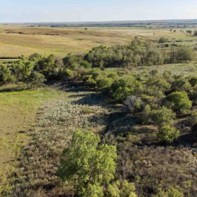
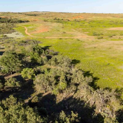
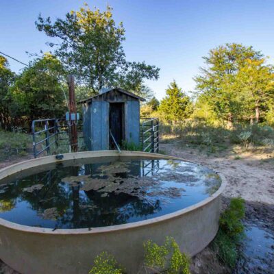
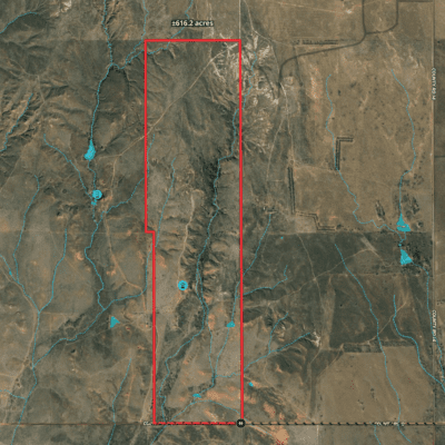
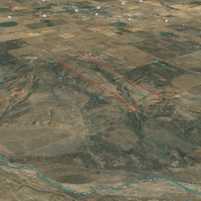
There is one electric submersible well located towards the middle of the property. There are also some seasonal streams and ponds throughout the section. This property is located just over a mile from the North Fork of the Red River.
Hunting:
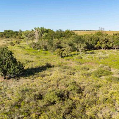
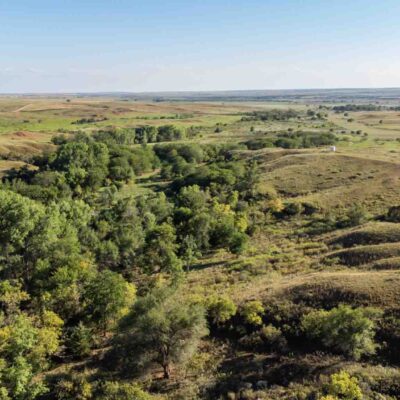
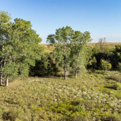
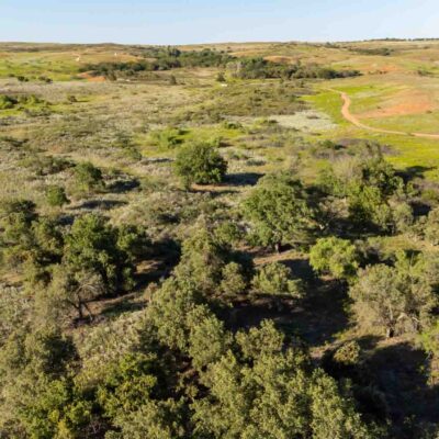
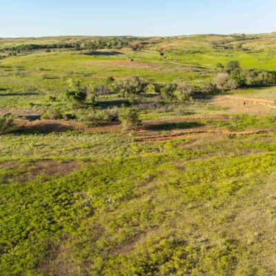
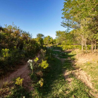
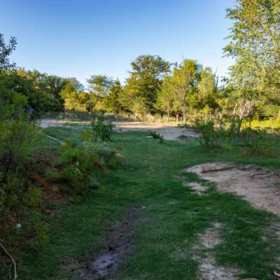
The area is known for excellent white tail deer hunting but also other native wildlife including quail, dove, turkey and some wild hogs. The tree cover and proximity to the river, along with other seasonal water sources, makes this property conducive to attracting wildlife.
History:
T&R North has been used for grazing yearlings and recreational purposes in most recent years.
Improvements:
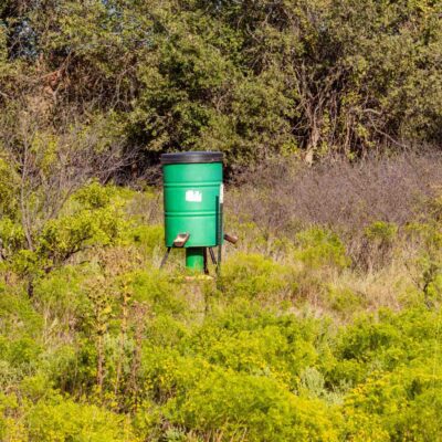
The property features good barbed wire perimeter fences along with one electric submersible well. There is electricity ran along the southern boundary, making future improvements convenient. Multiple deer feeders and blinds are also strategically placed throughout the property, and are negotiable to convey with the land.
Minerals:
The Seller is conveying 50% of owned mineral rights.
Landscape:
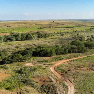
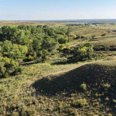
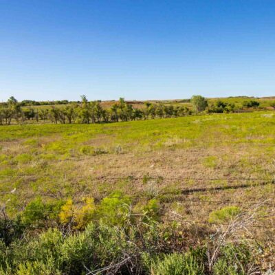
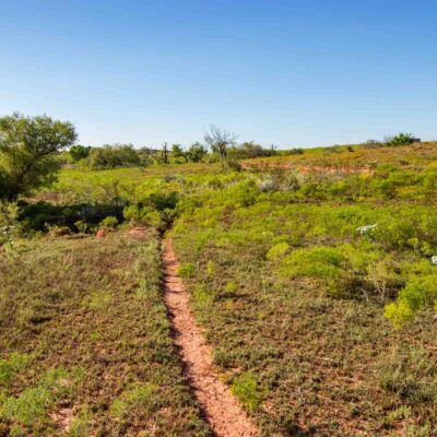
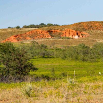
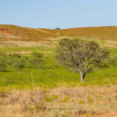
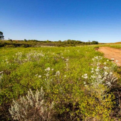
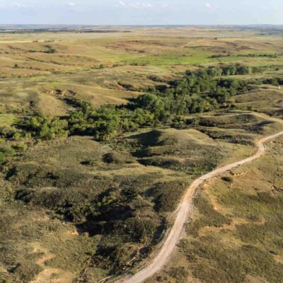
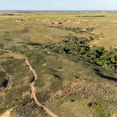
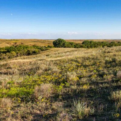
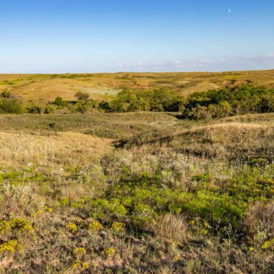
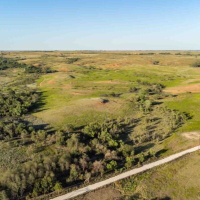
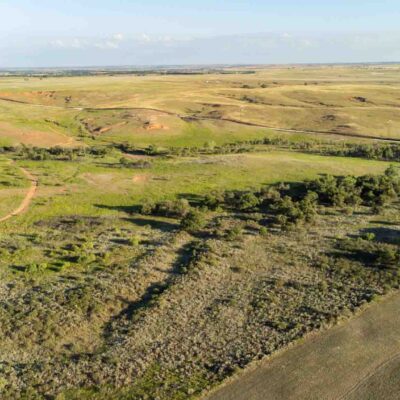
This property is rolling with elevation changes ranging from 2380 feet on the southern end reaching up to 2610 feet on the northern boundary.
The soils here within are listed with accompanying percentages for area of interest totaling 100%: Obaro-Quinlan (OuD) 48.62%; Devol loamy sand (DID) 26.09%; Lincoln loamy fine sand (Ln) 8.83%; Likes loamy fine sand (LkB) 7.68%; Mobeetie-Veal-Potter complex (MsD) 5.26%; Hardeman fine sandy loam (HaD) 3.52%.
Exclusions:
The deer feeders and blinds are excluded but are negotiable. There are no other exclusions at this time.
Zoning/Easements:
The property is outside of any municipality so is not zoned. There are no known easements that would affect operation of the land. It is anticipated all existing easements will be identified by surveyors.
Estimated Taxes:
*$679.58
*This is an estimated taxes for 2022. Potential buyers will be responsible for verifying the taxes with any potential exemptions.
Water Conservation District:
Area:
This acreage is located towards the middle of Wheeler County and sits north of Interstate 40 and west of Highway 83. It is also about 1 mile east of North Fork of the Red River.
Access:
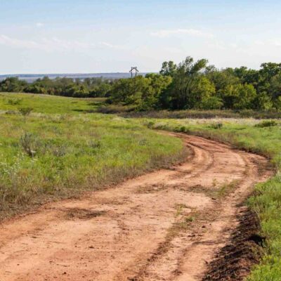
This property is accessible from a dirt county road, CR Q along the southern boundary.
Directions:
From Amarillo: 90 miles east on I-40 to Shamrock; north out of Shamrock on Hwy. 83 for approximately 9.5 miles; turn west on CR Q for 4 miles. Property sits on the north side of CR Q.
