Property Info and Links
Water/Improvements:
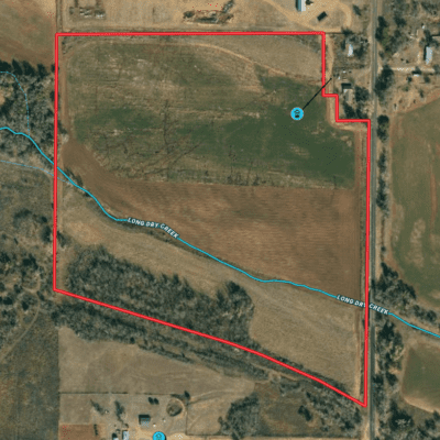
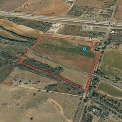
The property has an existing irrigation well on the NE portion of the land. Per seller, it is a 12 inch diameter and was producing +/- 100 GPM when last used.
Hunting:
This parcel has been a reliable hunting spot for the seller for many years. Whitetail deer & turkey are consistant.
History:
Over the years the property has been used as a dry-land field and hunting spot.
Minerals:
Buyer's will be responsible for their own due diligence pertaining to minerals. All owned mineral estate will convey with the property.
Landscape:
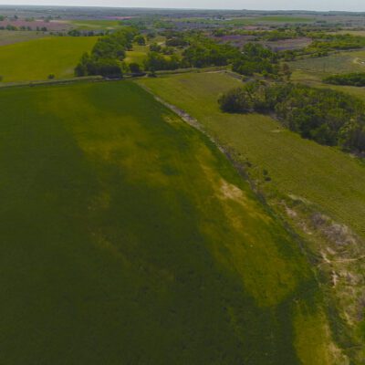
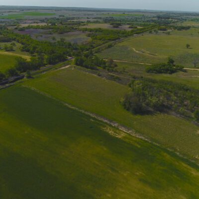
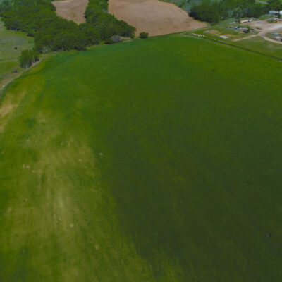
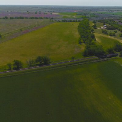
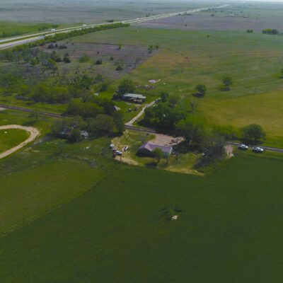
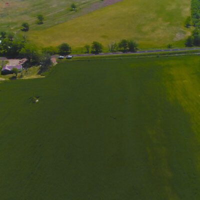
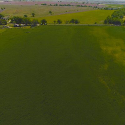
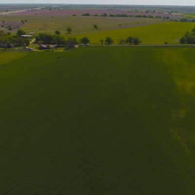
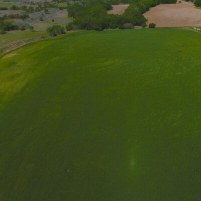
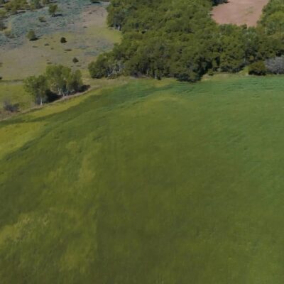
The land is slightly rolling with plenty of flat ground to build. The soils here within can be are listed with the accompanying percentages with total area of interest equaling 100%:
Gu - Guadalupe fine sandy loam, 0 to 2 percent slopes, occasionally flooded: 55.58% - 31 3c
GfB - Grandfield fine sandy loam, 1 to 3 percent slopes: 29.51% - 49 2e
GdB - Grandfield loamy sand, 0 to 3 percent slopes: 11.73% - 49 3e
GfC - Grandfield fine sandy loam, 3 to 5 percent slopes: 1.83% - 46 3e
DlB - Devol loamy sand, 0 to 3 percent slopes: 1.35% - 35 3e
Please see Soil Report for more information.
Exclusions:
All personal property will be retained by Seller.
Zoning/Easements:
The property is outside of any municipality so is not zoned. There are no known easements that would affect operation of the land. It is anticipated all existing easements will be identified by surveyors.
2023 Property Taxes:*
$214.20
Area:
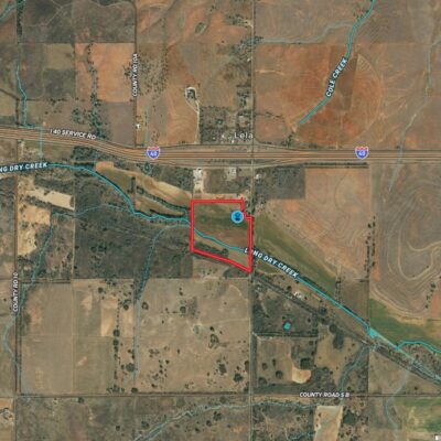
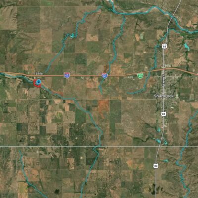
This property is located in the southwestern quadrant of Wheeler County.
Access:
The property can be accessed via I-40 & CR 14. All roads leading up to property are paved.
Directions:
From Shamrock head west on I-40. Take access road into Lela. Go south of CR 14 1/5 mile. Parcel is on the west side of the road.
